Analyzing Geo-Fencing Protocols That Enforce Regional Access Rules in Portable Gaming Applications
Written by Carlo Koch · Aug 3, 2026
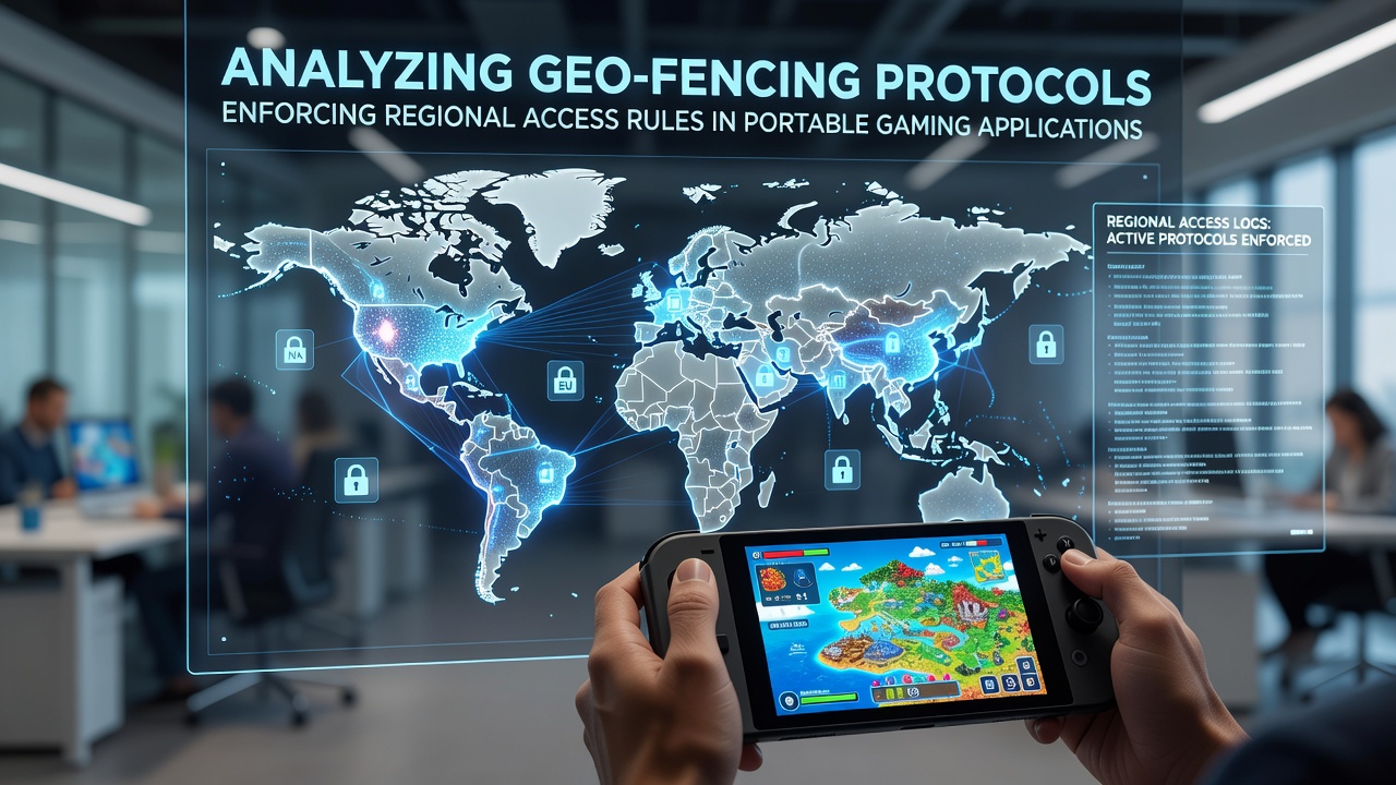
Analyzing Geo-Fencing Protocols That Enforce Regional Access Rules in Portable Gaming Applications
Portable gaming applications rely on geo-fencing protocols to determine user location and apply access restrictions that align with varying jurisdictional requirements, and these systems combine GPS coordinates, IP address mapping, and cellular network triangulation to create virtual boundaries around permitted regions. Developers integrate these tools into mobile platforms so that gameplay activates only when devices fall inside approved zones, while attempts from outside trigger immediate blocks or redirects to informational notices.
Core Components of Geo-Fencing Technology
Geo-fencing operates through layered data sources that cross-verify position in real time, and the primary method draws satellite signals for latitude and longitude readings that update every few seconds during active sessions. Secondary checks pull from Wi-Fi network identifiers and cellular tower handoffs, which together reduce spoofing risks because mismatched data points prompt the application to pause and reauthenticate the connection. Research from industry reports indicates that hybrid models achieve accuracy rates above 95 percent in urban environments where multiple signals overlap.
Application programming interfaces from mapping services feed continuous location streams into the backend servers, and these servers compare incoming coordinates against predefined polygons that represent legal gaming jurisdictions. When a device crosses a boundary line the protocol executes a server-side command that either terminates the session or switches the interface to a compliance mode that displays region-specific rules.
Regulatory Drivers Behind Regional Controls
Government agencies in multiple countries mandate these controls to enforce licensing conditions that differ by state or province, and data compiled by the Australian Communications and Media Authority shows that location verification has become standard in digital gambling frameworks since the early 2020s. Similar requirements appear in Canadian provincial rules administered through bodies such as Innovation, Science and Economic Development Canada, where operators must demonstrate that access remains confined to authorized territories at all times.
Portable applications often embed these protocols during the initial download phase, and updates to boundary files occur automatically when new legislation takes effect. In August 2026 several North American markets adjusted their digital gaming statutes, prompting rapid polygon revisions that developers pushed through over-the-air patches to maintain compliance without requiring users to reinstall software.
Implementation Challenges and Technical Responses

Network latency and device settings can interfere with signal reliability, yet developers counter these issues by incorporating fallback mechanisms that default to the most restrictive reading when data conflicts arise. Observers note that VPN detection modules now run alongside core geo-fencing routines because users sometimes attempt to mask their true position, and these modules analyze packet routing patterns to flag suspicious traffic before granting entry.
Battery consumption rises when continuous location polling occurs, and application designers mitigate the drain by employing adaptive sampling intervals that increase frequency only during active play periods. Studies conducted by academic research groups reveal that optimized protocols reduce power usage by up to 30 percent compared with constant monitoring approaches, allowing longer sessions without compromising accuracy.
Case Examples from Current Deployments
One developer team integrated geo-fencing into a multi-state aggregator platform and observed that boundary adjustments completed within hours after regulatory notices arrived, whereas earlier versions required manual code changes that delayed rollouts by days. Another project in a European jurisdiction incorporated machine learning to predict likely travel routes, and the system preloads alternative content libraries so that users crossing borders experience seamless transitions rather than abrupt terminations.
Industry associations have published guidelines that recommend regular audits of polygon datasets, and these reviews compare live location logs against historical regulatory maps to identify drift or outdated boundaries that could expose operators to penalties.
Conclusion
Geo-fencing protocols continue to evolve as portable gaming expands across borders, and the combination of satellite, network, adn behavioral signals provides the enforcement layer that regulators require for lawful operation. Ongoing refinements in accuracy and efficiency allow applications to meet regional rules while maintaining user access within permitted areas, and the systems adapt quickly when statutes change as they did in several markets during August 2026.